LVMC Tabletop / Mid-Hills Mojave Camping Trip
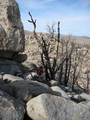
pics by Harlan W. S. This area burned in 2005. The ridge route is a roller-coaster, but the walking is undoubtedly easier because of the fire. |
|
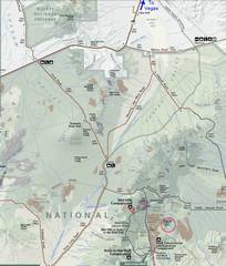
Map showing the locations of the campsite (at Mid-Hills) and the hike. |
24k topo with GPS trace (magenta) For actual hike, and Zdon southern route (unbroken blue for dirt road, dashed blue for hike). |
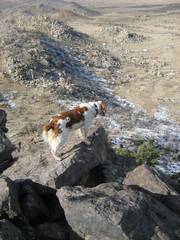
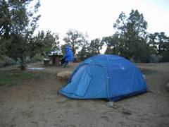
Snoopy is ready for the hike. |
|
|
|
|
|
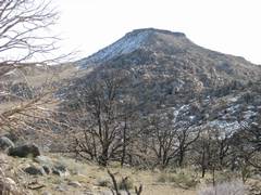
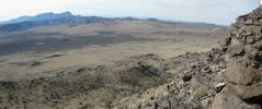
Tabletop to the E, near start of hike. |
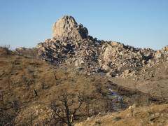
The pinnacles at W are in back of Mid-Hills camp. |
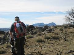
Howard, with to SW. |
|
|
|
|
|
|
|
|
|
|
|
|
|
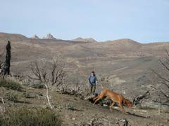
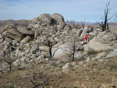
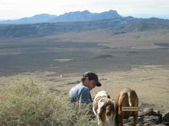
Providence Range in background. Can you see Josh and Dazey? |
|
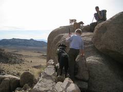
Josh with dogs and more |
|
|
|
|
|
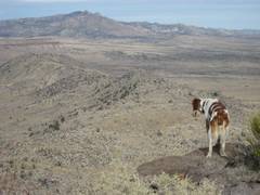
New York Mountain to N. |
|
Sunday morn, Christine eats breakfast at the cold campsite. |
|
|
|
|
|
Impressive spire W of campsite. |
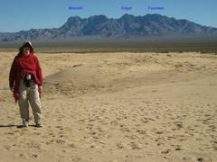
At Kelso Dunes,
view E to Range. |
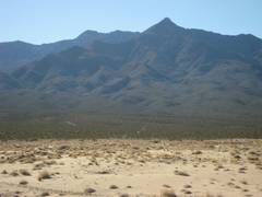
At the dunes, view S to Granite Mts. |
|
|
|
|